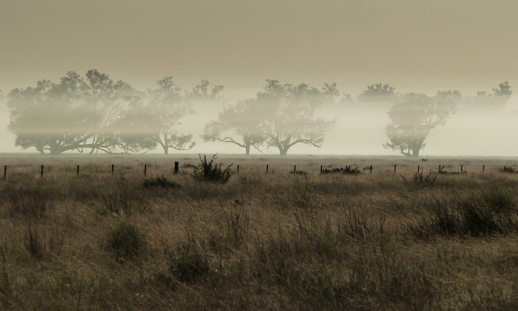

WetlandSnap sites
WetlandSnap photopoint monitoring sites have been installed in several wetland and river systems already. Use the map below to explore areas with WetlandSnap sites.
So far, we have been piloting WetlandSnap photopoint monitoring on private land and reserves through collaborations with landholders and industry partners. As public sites are added to the network, they will also appear on this map.
Note that WetlandSnap sites on private land and other areas with no public access will not appear on the site map or list. If you are a private or industry/government contributor, please contact us.
Set up a new WetlandSnap site
We are expanding our network of WetlandSnap photopoint monitoring sites and would love to help you set up your own site at a place that's important to you.
Every site is different, but we have a starter pack available to help you choose a site, install the appropriate hardware, register your site with WetlandSnap, and start taking photos that can help to monitor changes in the environment.
If you are a private landholder, you can choose the level of public access to your photos and we have systems in place to protect your privacy. Please contact us to discuss any questions.
Ready to find out more?
Contact us to learn more about setting up your own WetlandSnap site.